


Hapur was announced as district name Panchseel Nagar on September 28, 2011 by Hon’ble the then Chief Minister Km. Mayawati and Month July 2012. Hon’ble Chief Minister Shri Akhilesh Yadav Changed the Name to Hapur District.
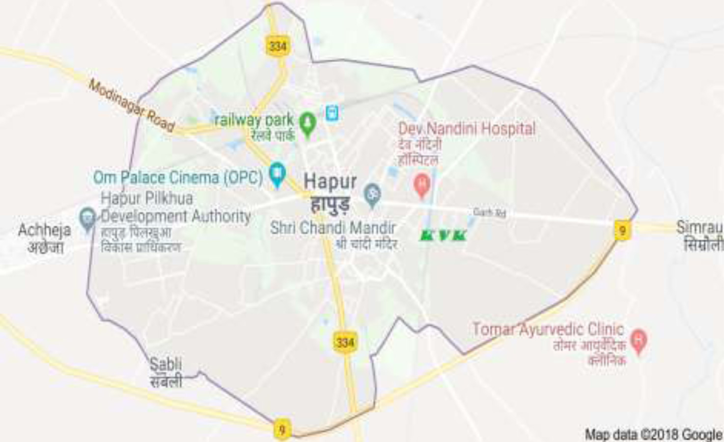
Hapur is a city with a population of 1328322 and noted as manufacturing Hub of marking stainless steel, Pipes and tubes. Hapur is also farmer for papads, Paper coons and tubes. Situated about 60 Km from capital of India New Delhi. The National Highway 24 connecting Delhi Lucknow also passes from the city. The city comes under Delhi –NCR Region.
| Name of Tehsils | Name of Division/ Blocks | Inhabited Village Block wise (Nos.) |
|---|---|---|
| Hapur | Hapur | 82 |
| Dhaulana | Dhaulana | 44 |
| Garhmukteshwar | Garhmukteshwar | 54 |
| Simbhauli | Simbhauli | 63 |
| S.N. | Particular | Year | Unit | Statistics |
|---|---|---|---|---|
| i | Latitude | Degree/minutes | 28.72N | |
| ii | Longitude | Degree/minutes | 77.78E | |
| iii | Geographical Area | Degree/minutes | 660 |
| S.N. | Particular | Year | Unit | Statistics |
|---|---|---|---|---|
| i | Sub divisions | 2016 | Nos. | - |
| ii | Tehsils | 2016 | Nos. | 3 |
| iii | Sub-Tehsil | 2016 | Nos. | - |
| iv | Patwar Circle | 2016 | Nos. | - |
| v | Panchayat Samitis | 2016 | Nos. | 49 |
| vi | Nagar Nigam | 2016 | Nos. | 0 |
| vii | Nagar Palika | 2016 | Nos. | 3 |
| viii | Gram Panchayats | 2016 | Nos. | 243 |
| ix | Revenue villages | 2016 | Nos. | 243 |
| x | Assembly Area | 2016 | Nos. | 3 |
| S.N. | Particular | Year | Unit | Statistics |
|---|---|---|---|---|
| As per census 2011 | 1338310 | |||
| i | Male | 2011 | Nos. | 708910 |
| ii | Female | 2011 | Nos. | 629400 |
| iii | Urban Population | 2011 | Nos. | 398250 |
| iv/th> | Rural Population | 2011 | Nos. | 940060 |
| S.N. | Particular | Year | Unit | Statistics |
|---|---|---|---|---|
| i | Total Area | 2013-14 | Hectare | 114276 |
| ii | Forest Cover | 2013-14 | Hectare | 846 |
| iii | Non Agriculture Land | 2013-14 | Hectare | 17848 |
| iv | Cultivable Barren land | 2013-14 | Hectare | 1659 |
| S.N. | Particular | Year | Unit | Statistics |
|---|---|---|---|---|
| Forest | 2013-14 | Hectare | 846 |
| S.N. | Particular | Year | Unit | Statistics |
|---|---|---|---|---|
| i | Cows | 2012 | Nos. | 72986 |
| ii | Buffaloes | 2012 | Nos. | 296999 |
| S.N. | Particular | Year | Unit | Statistics |
|---|---|---|---|---|
| i | Goats | 2012 | Nos. | 37527 |
| ii | Pigs | 2012 | Nos. | 4672 |
| iii | Dogs & Bitches | 2012 | Nos. | - |
| iv | Railways | 2014-15 | Nos. | |
| 1 | Length of rail line (Broad gauge) Meter gauge |
2014-15 | Kms. | 67 |
| S.N. | Particular | Year | Unit | Statistics |
|---|---|---|---|---|
| a | National Highway | 2014-15 | Kms. | 447 |
| b | State Highway | 2014-15 | Kms. | 854 |
| c | Main District Highway | 2014-15 | Kms. | |
| d | Other District & Rural Roads | 2014-15 | Kms. | 1516 |
| e | Rural road/Agriculture Marketing Board Roads | 2014-15 | Kms. | |
| f | Kachacha Road | 2014-15 | Kms. |
| S.N. | Particular | Year | Unit | Statistics |
|---|---|---|---|---|
| a | Telephone connection | 2014-15 | Nos. | 6105 |
| b | Post Offices | 2014-15 | Nos. | 98 |
| c | Telephone center | 2015 | Nos. | - |
| d | Density of Telephone | 2015 | Nos./1000 person | - |
| e | Density of Telephone | 2015 | Nos. per KM. | 6105 |
| f | PCO Rural | 2015 | Nos. | |
| g | PCO STD | 2015 | Nos. | |
| h | Mobile | 2015 | Nos. |
| S.N. | Particular | Year | Unit | Statistics |
|---|---|---|---|---|
| a | Allopathic Hospital | 2015 | Nos. | 33 |
| b | Beds in Allopathic Hospital | 2015 | Nos. | - |
| c | Ayurvedic Hospital | 2015 | Nos. | 12 |
| d | Beds in Ayurvedic Hospital | 2015 | Nos. | - |
| e | Unani Hospitals | 2015 | Nos. | 0 |
| f | Community health Centers | 2015 | Nos. | 9 |
| g | Primary Health Centers | 2015 | Nos. | 31 |
| h | Dispensaries | 2015 | Nos. | - |
| i | Sub Health Centers | 2015 | Nos. | - |
| j | Private Hospitals | 2015 | Nos. | - |
| S.N. | Particular | Year | Unit | Statistics |
|---|---|---|---|---|
| a | Commercial Bank | 2014-15 | Nos. | 154 |
| b | Rural Bank | 2014-15 | Nos. | 11 |
| c | Co-Operative Bank | 2014-15 | Nos. | 13 |
| d | PLDB Branches | 2014-15 | Nos. | 3 |
| S.N. | Particular | Year | Unit | Statistics |
|---|---|---|---|---|
| a | Primary School | 2014-15 | Nos. | 633 |
| b | Middle Schools | 2014-15 | Nos. | 360 |
| c | Secondary & Senior Secondary Schools | 2014-15 | Nos. | 127 |
| d | Colleges | 2014-15 | Nos. | 14 |
| e | Technical University | 2014-15 | Nos. | 1 |
| S.N. | Particular | Year | Unit | Statistics |
|---|---|---|---|---|
| 1 |
| S.N. | Particular | Year | Unit | Statistics |
|---|---|---|---|---|
| 1 |